Wednesday, September 27, 2006


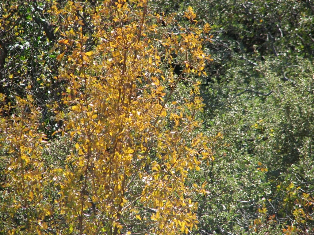
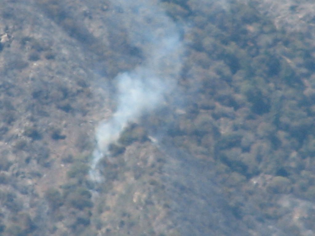
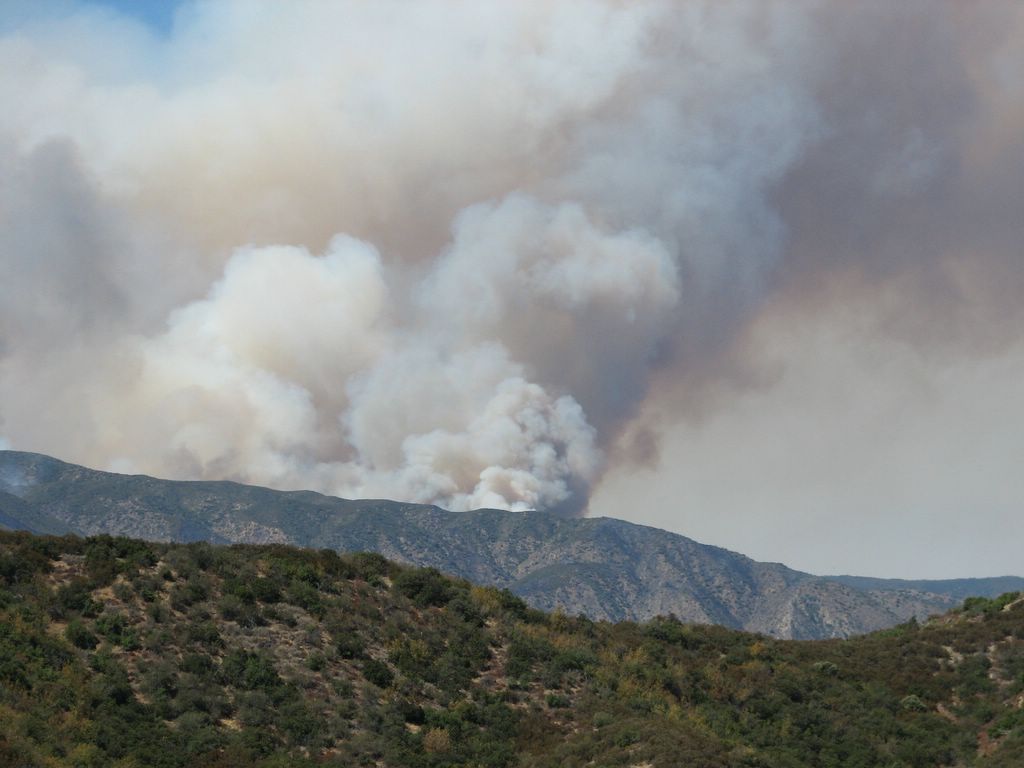
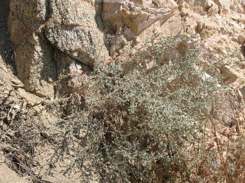
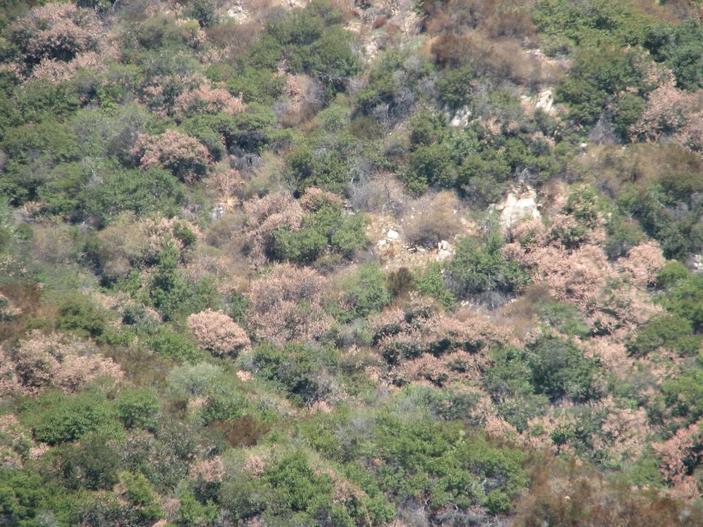
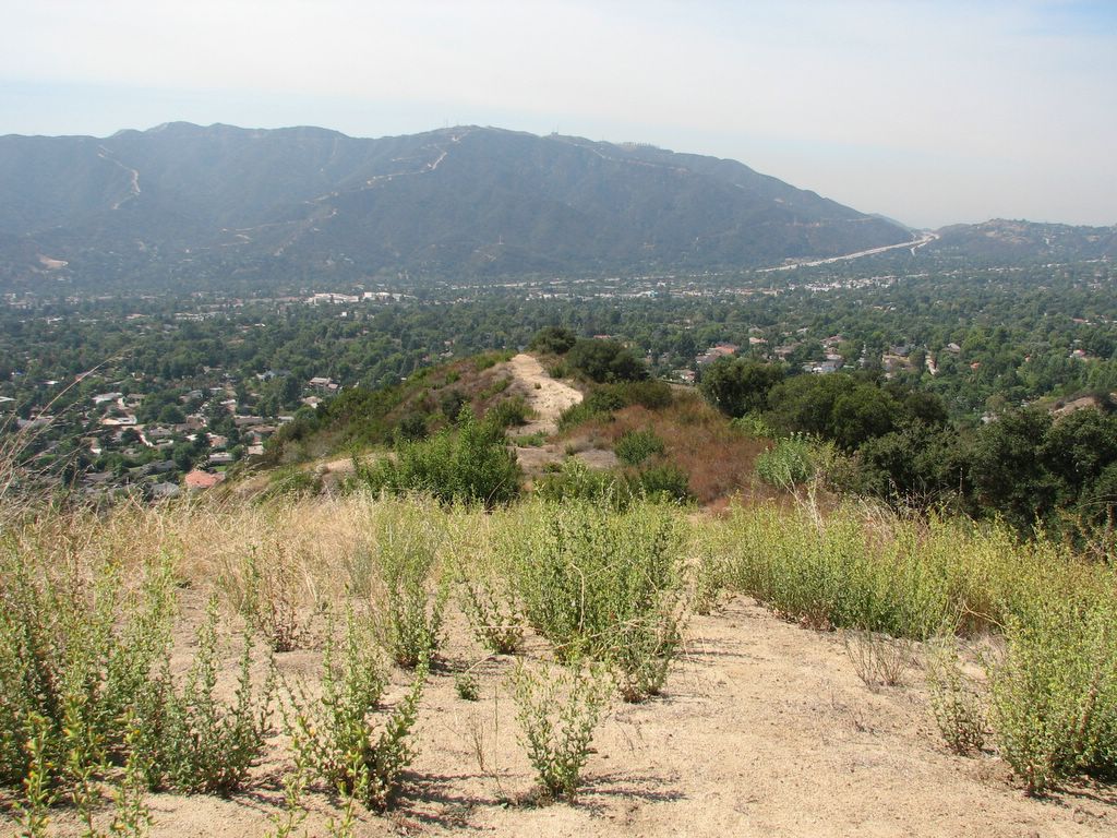
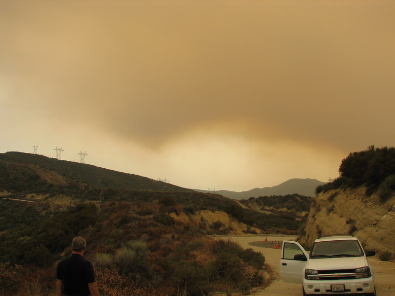
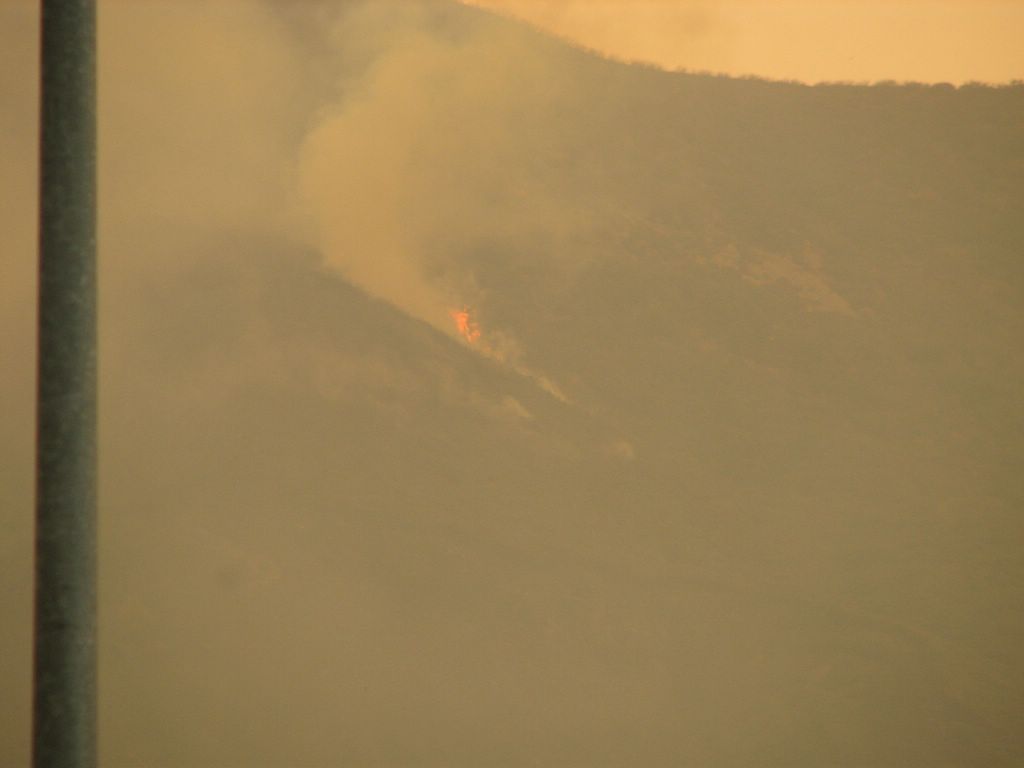
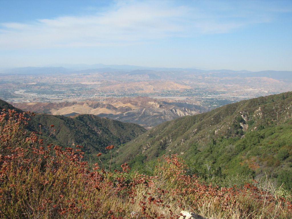
Down the hill you can see a burnt area from a different. smaller fire. The fire burned in grasses and tall shrubs that are present because an unnatural frequency of fires has killed the large shrubs. It is called 'type conversion'. Much of area around southern California is unlike most other areas in that it has too many fires, rather than too few. Posted by Picasa

A few signs of fall are apparent now.. the chaparral ash is turning yellow. This is probably more due to dry conditions than to cold (during drier summers it can lose its leaves in early August), but it is still pretty. Posted by Picasa

Smoke and weeds Posted by Picasa

a burning bush? Posted by Picasa

it was mostly smoldering but sometimes flames would shoot up. it was 'backing' downhill and against the wind, which accounts for the low fire intensity. Posted by Picasa

A little unburned area within the 'black' area was burning. it could be that they set it on fire on purpose, so it couldnt end up spreading the fire later. Posted by Picasa

The 'Day Fire' I was close to a few weeks ago burned away from where i was, then turned around over a couple of weeks and came back within a few miles of the area it had left. It is one of the longest-lived fires in modern southern California history, despite its name Posted by Picasa

This is 'nevin's brickelbrush', a plant that was considered to be rare for a while, but is on almsot every roadcut, trailside, or eroding cliff in lower elevation southern California. Oops! Posted by Picasa

high fuel load Posted by Picasa

this is a 'scrub oak' i found. They are usually shrubs but this one was a pretty sizable tree. Posted by Picasa

After the very hot weather this july, most sugarbush plants at lower elevations were apparently severely 'sunburned' by the heat or by the sun. Is it a symptom of climate change or just of an extreme event? who knows, but it is weird and increases the fire danger in the area. Posted by Picasa

La Crescenta, the 210, and the Verdugo Mountains Posted by Picasa

Friday, September 22, 2006


This is what happens when a mountain slumps into a road... the asphalt is heaved into the air. This slump happened after the torrential rains two years ago. It is along old Ridge Route, the original precursor to Highway 5 over the Grapevine. Ridge Route was severely damaged during these rains and is now closed to the public. The road is expected to be repaired by next summer barring further damage. But signs point to an El Nino winter, which could mean more floods. Posted by Picasa

This is a Sugarbush plant in Big Tujunga Canyon. During the record-breaking heat wave that happened in July, a ton of the sugarbush experienced die-off, apparently due to the extrem temperatures. Although most of the bushes survived, they are covered in dead leaves now, adding to the fire danger. Posted by Picasa

The Day Fire has been burning since Labor Day, and is still putting up a ton of smoke. This was Wednesday on Ridge Route near the Grapevine. Today the skies over Pasadena looked almost this brown, even though we are very far from the fire. Also on wednesday, a fire started near Clear Creek School (where the fog was less than a week ago). That fire is contained and hopefully will not spring to life after the santa anas come back. Posted by Picasa

This is fog swirling into upper Arroyo Seco towards the backside of Mt Wilson. There were clouds above the fog too... the clouds came with cold air, the first weak cold front of the coming fall. Early fall brings cool air and clouds, but after the dry cold fronts pass, the santa anas come. Then the fires come. Posted by Picasa

Last week the fog came in, bringing drizzle to Little Tujunga Canyon. The fog came pouring over the pass between Mt Wilson and Monrovia Peak. Posted by Picasa

Wednesday, September 13, 2006


This series of pictures documents my experience in a Day Fire flareup i got caught up in while trying to visit a project site. I am trying to tell the story from top down so it is more readable than most of the blog posts (the blog puts the most recent post on the top). Anyway, the firefighter i talked to at my office told me the fire was going out, so i headed up to visit a project site near the fire area. I got some amazing pictures, but was never close enough to the fire to be in danger. Posted by Picasa

It's definitely not going out! Posted by Picasa

I came around the corner and knew for sure.. the fire was NOT out... and it was close Posted by Picasa

I got up to Pyramid Lake and asked the fire people there if it was okay to go up to Posey Canyon. They said it was okay.. but moments after I left, they called me back. the fire had jumped the 99 and was heading for the 5. I sat and watched the fire for a little while and ate free fire food. The main fire wasnt visible from Vista Del Lago where i was, but I could see several hot spots smouldering across Pyramid Lake from me. Posted by Picasa

Another spot fire across the lake Posted by Picasa

Blackhawk Up! Posted by Picasa

The helicopter guys do an amazing job in extremely dangerous conditions. I watched them dip in pyramid lake for a while, until the CHP came by and told us they were about to close the 5. I left the area right then and drove through what turned out to be a major flareup closing in on the highway. Posted by Picasa

The air just looks sickly Posted by Picasa